



Role-based access. Every action named.
Roles set who can inspect, administer or control. Site maps, geofences and ditch zones are shared and version-checked.
Control
Administer
Inspect
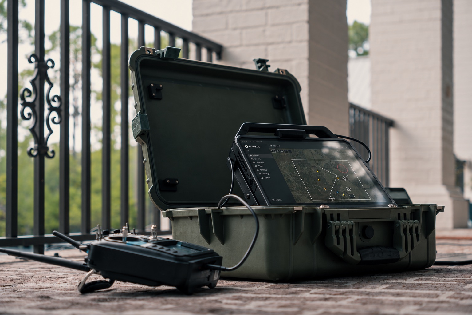
Oz puts aircraft, maps, access and site zones in one picture, so operators decide faster and every action has a name on it.
Aircraft, maps and zones in one view.
Take authority. Confirm each command.
Plan missions and fleets in the browser.
Oz connects to PX4. The operator takes authority, confirms the command and sees what the aircraft did.
Arm, takeoff, hold, land, return and reposition. Each one confirmed.
Oz checks every result against live telemetry, so operators see what the aircraft actually did.
An above-ground-level policy can recover, return to a ditch point and land.
Roles set who can inspect, administer or control. Site maps, geofences and ditch zones are shared and version-checked.
Paired Oz sites share selected observations and zones. Each site keeps its own users and control.
Choose what to publish. Revoke at any time.
Shared data never grants remote control.
Radar observations, source health and evidence sit beside aircraft in one picture. Stale and lost tracks stay visible.
Draw routes and scan zones, connect actions and test branches. Organize fleet inventory in the same workspace.
Already run a C2? Cypher connects it to PX4 aircraft.
A separate integration layer. Operators keep tasking from the system they know, with or without Oz.
Get in touch and our team will help you get started, from first conversation to first mission.